With Style, there are really two issues at play: GM maps vs player maps. A GMs map by definition has more detail. But in addition to detail, what (if any) should be the stylistic differences between a players map and a GMs map?
 |
| From http://www.printmini.com/ |
As for GMs, the more accurate and clear the information is, the better. Icons tend to obscure actual geographical location, while a topographical map can seem noisy and contain simply too much information that isn't really that critical.
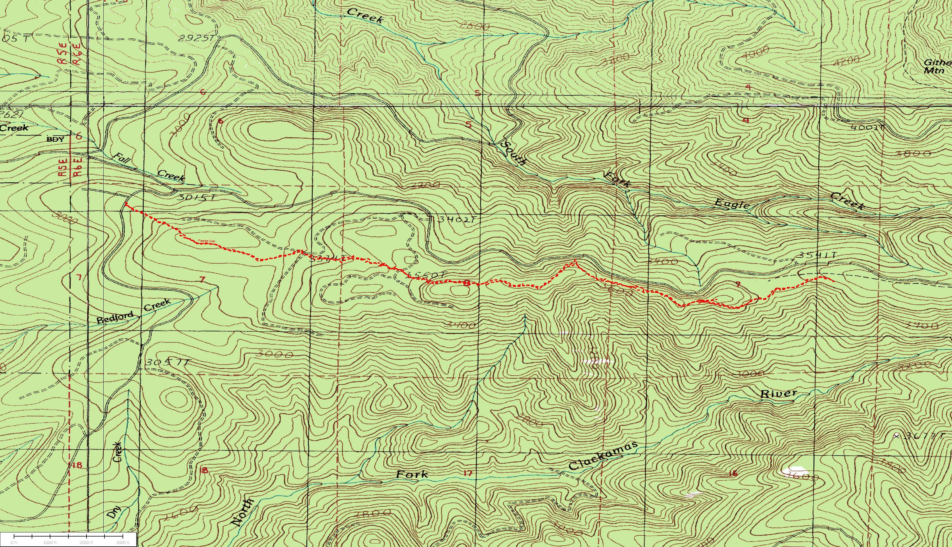 |
| From http://www.trailadvocate.org/?page_id=389 |
I've heard and seen good things about Campaign Cartographer, and there seems to be a wide variety of styles to the maps that can be made.
My own approach is to use Photoshop. I can paint each terrain type on a different layer using a solid color. The Noise filter adds a bit of variety. Drop Shadows, as well as Bevels with Contours and Textures offer a huge variety of possibilities. Here is my map for the known lands of Shatterworld:

To me, this map offers a wealth of information on land masses and terrain types. The premise is that they were once all a single land mass, and a cataclysmic event called The Shattering split the world into separate islands some 1300 years before the time of the campaign setting. It is easy to identify forests, mountains, hills, desert, lakes, and tundra.
The next issue is one of scale. My thoughts on my campaign world is that I don't really need an area much larger than Europe to run a very expansive campaign, and could in fact run 90% of my campaign in a setting the size of Spain. I've taken that center landmass in the middle of the map above, and made it the centerpiece of my campaign. I decided that it would be roughly 300 miles across, for a total area of some 90,000 square miles. Considering that most villagers never wander more than a few miles from where they were born, this affords plenty of space for isolated communities, wilderness, and ruins.
 |
| Calabria: 1" = 30 miles |
Note that there is a lot of information about Calabria that is not apparent on the world map. This seems an obvious point to make, but it will become an important one as we continue enlarging our maps and zooming in an an area. I've named mountain ranges, large forests, a few political regions, and five cities.
My next Map is of the central region of the Merchant's Republic. For this map, I chose a 300% magnification from the map of Calabria:
 |
| Merchant's Republic: 1" = 10 miles |
I think the key strength of the map of the Merchant's Republic is that it gives the GM an area to set adventures in. There are forests, bogs, rivers, and fortified cities to choose from. Towns and villages can really be dropped in anywhere. Just be sure to make a note of their location.
Next comes a map of the region I'm calling the Lower Dire Bogs. I've once again magnified 300%, bringing a bit more information into view:
 |
| County Carr, Merchant's Republic: 1" = 3 miles |
Here some more details come into play. First, it becomes apparent why Carrnach and Carrdech are located where they are. They are each on hilltops, and able to surveil the surrounding lands. The river winding through the Greenwood has a number of interesting islands in the middle. The Via Imperium actually passes right through one of the bogs. There are seven unnamed towns or villages on offshoots of the Via Imperium.
This map probably has more information than a player needs, or should even have. The map the players are given for the area really shouldn't have any more information than the map of Merchant's Republic has, unless they grew up in one of the towns or cities and are intimately acquainted with the area. The players can fill in details about lands they visit as they adventure and learn about the territories.
I'm planning on one more enlargement; a map of the scale of 1' = 1 mile. This will actually be for a specific adventure, where building sites will be indicated, cave entrances notated, and other various adventure information.
Something to consider is that it will take 9 maps the size of Merchant's republic to map out the majority of Calabria. It will take 81 maps the size of the Lower Dire Bogs to detail those nine maps. It will take 729 maps of the next enlargement to detail one magnitude further. Basically, I should have ample room for 1000 different adventure settings in Calabria, each spanning an area of roughly 8 x 10 miles, and mapped out 1" to the mile. That's about the distance from my house to my mailbox.
Splendid maps! Congratulations!
ReplyDeleteThank you!
ReplyDelete